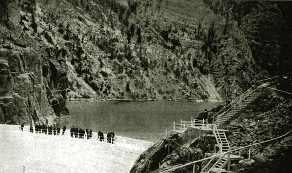
Observation Deck, Cody Dam, approx. 1926.
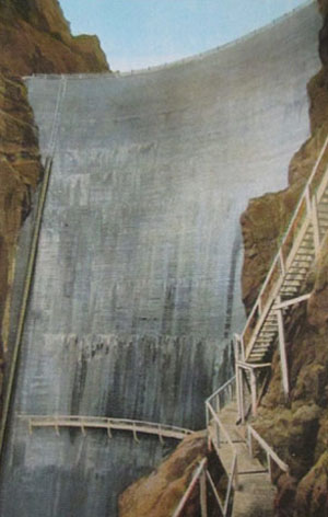
Left: View of Dam, approx. 1926, photo by Haynes
Right: View from Observation Deck, looking east.
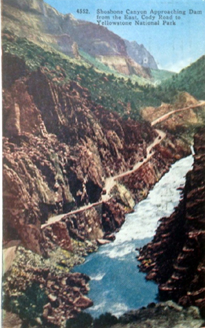
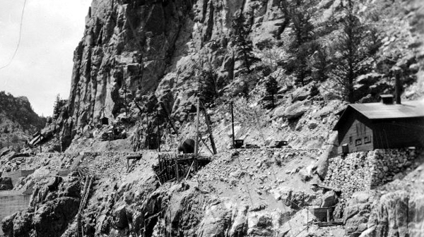
View of the Dam Hill Grade leading to the Cody Dam, approx. 1920.
As originally proposed the dam was to include generation of electricity. Note the building to the right of the dam alongside the road. The proposed site of the powwer plant for the
dam was almost immediately below the building. See close up of buildings and 1924 photos below. Construction of the new Power Plant commenced in
1920. The dam was to provided electricity for Cody, Powell, Garland and Deaver. Not withstanding difficulties resulting from freezing weather, the 1000 kw power plant was completed in 1922. The plans provided for two
1100-hp turbins and two General Electric Generators. The plans also included adding a third generator at a later time.
Support buildings for Shoshone Dam Powerhouse, approx 1924.
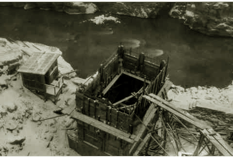
Powerhouse under construction, approx. 1921.
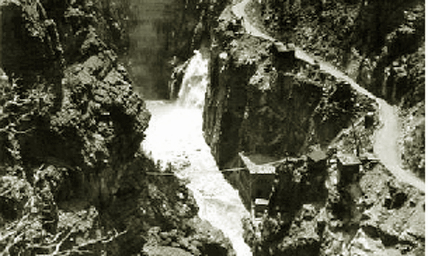
1924 bird's eye view of Powerhouse showing relationship with the approx. 1920 view..
In 1931 the third turbin and generator were added. In 1946, the dam and reservoir were renamed after Col. Cody. In 1980 with the generation equipment being over 50 years old, the power generation was decommissioned.
Between 1985 and 1992, the dam was raised in heigt by another twenty-five feet. Electrical generation was then put back on line in 1991. The additional
height may be observed by the change of color in the cement in the next photo.
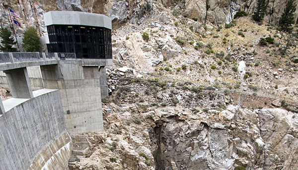
Buffalo Bill Dam, 2007, showing additional height and
visitors' information center at end of dam.
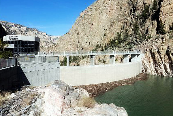
Buffalo Bill Dam and Visitor Center as seen from
the Reservoir side,
visitors' information center at end of dam.
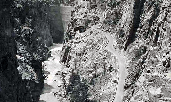
The original construction of the reservoir and improvements to the dam have over the years required
reconstruction and relocation of the original Cody Road as illustrated in the ensuing pages.
Next page: The Cody Road tunnels.