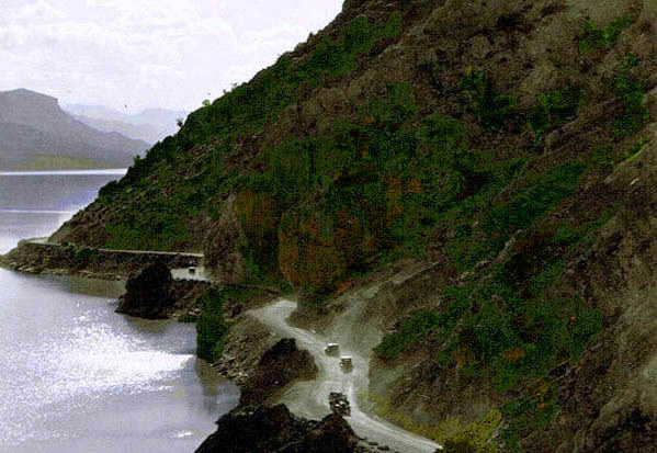
Cody Road along north shore of Shoshone Reservoir, approx. 1926.
Image by G. B. Dobson based on a photo.
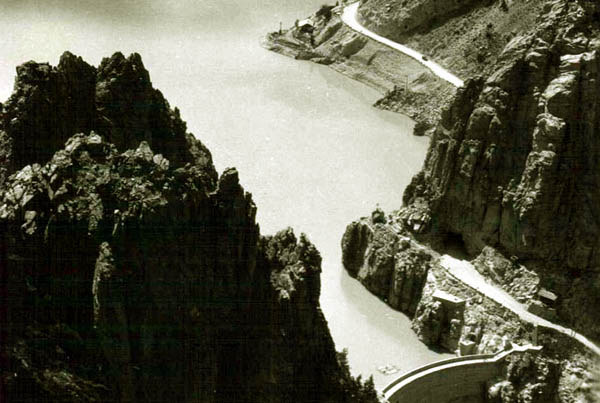
Airplane view of Cody Road Tunnel at the top of the
Dam Hill Road, approx. 1926.
1910.
West of the top of Dam Hill there were five tunnels.
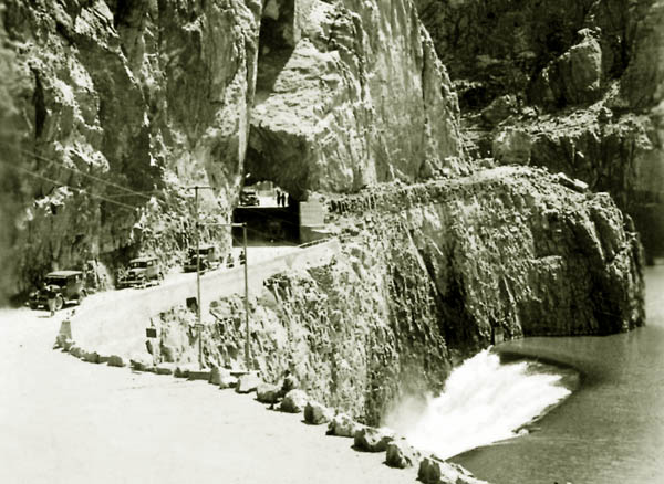
Exit from Tunnel at top of Dam Hill Road Roadway, approx. 1926.
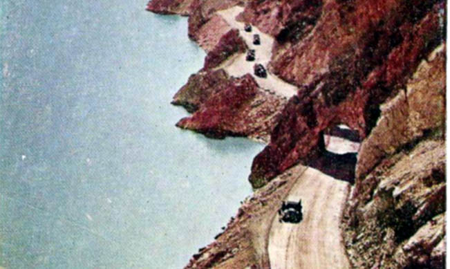
Tunnel on Cody Road on north side of the Reservoir.
The most picturesque of the tunnels were the so-called "Triple Tunnels."
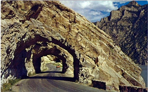
Triple Tunnels.
As indicated by the next photo, above the reservoir, the valley flattened out a bit, but the road in the early years did not improve. It was
still one-lane.
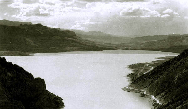
View of the upper reservoir, looking west.
Above the Reservoir the grades and curves lessened--for a while. The road remained a single lane without guard rails or parapets.
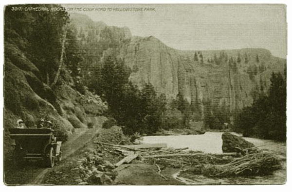
View of Cathedral Rocks.
As noted by Dr. Bacmeister (previous page) there were variously rock formations named after
various things and persons which in one's imagination there was a resemblance. These included
the "Kaiser's Face," the "Laughing Pig," the Palisades, the "Pulpit," Sentinal Rock, "Henry Ford," tne most impressive of
all the "Holy City."
"
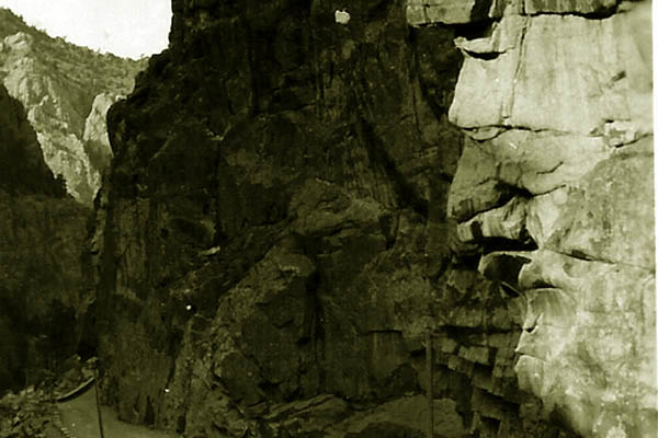
The Kaiser's Face.
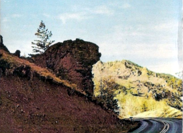
The Laughing Pig.
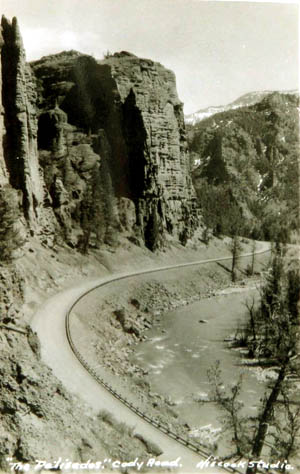
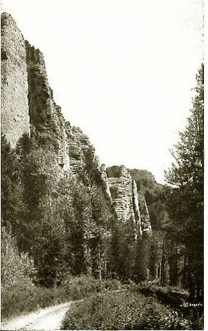
The Palisades.
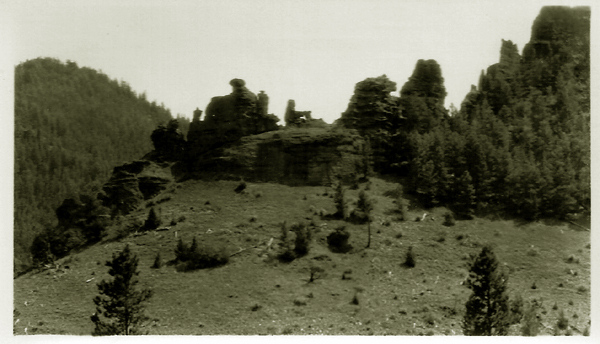
Henry Ford Driving a Model T.
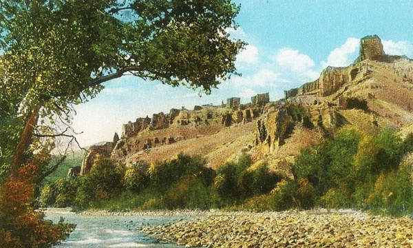
The Holy City, approx. 1924. Image by Anahol Curtis.
The Holy City was apparently inspired by a hymn that was popular in the early
1900's, the "Holy City" composed by Michael Maybrick with lyrics by Frederick Weatherly. See Revelation 21.
Music this page "Beulah Land."
Next Page: Cody Road Continued.